News and Resources

July 6, 2026

June 26, 2026
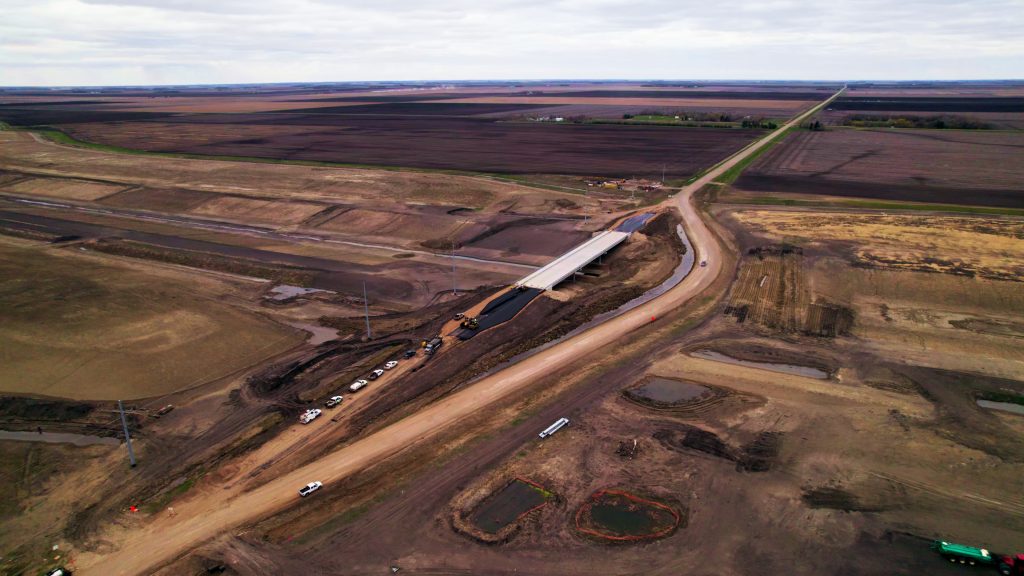
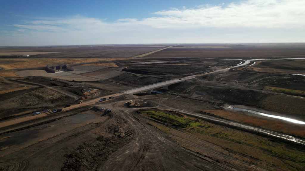
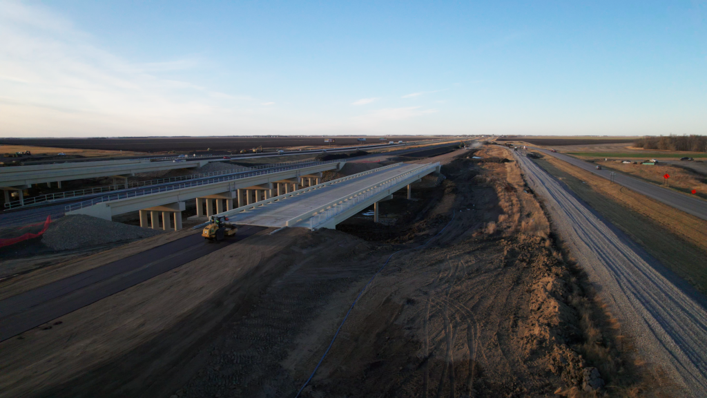
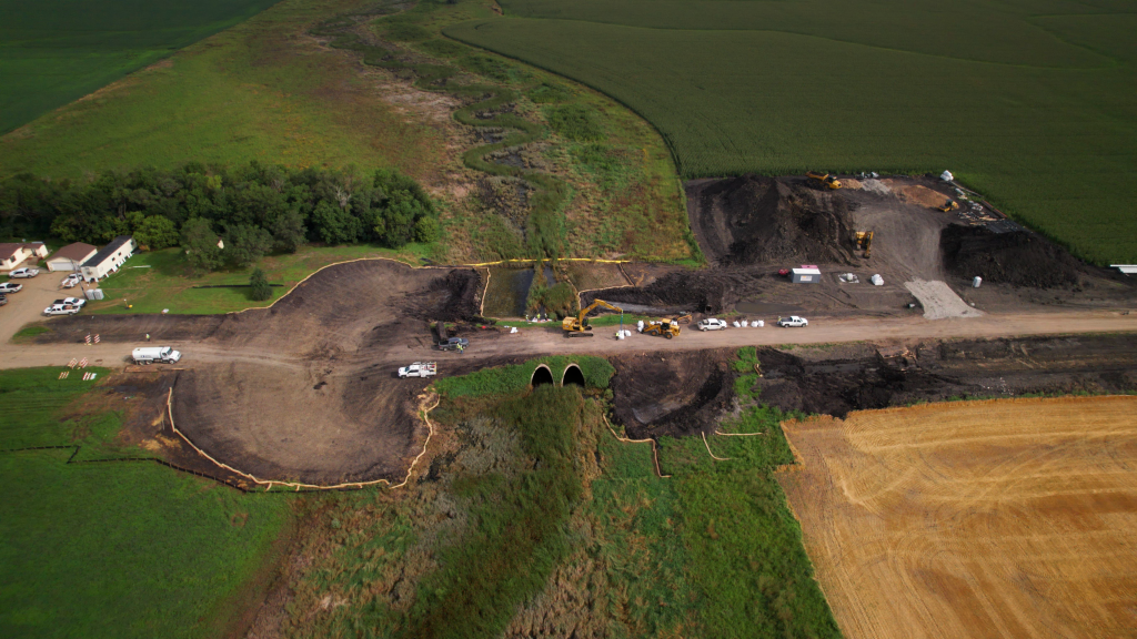
FM Area Diversion June Construction Update

June 10, 2026
U.S. Army Corps of Engineers Announces Temporary Road Closure in Support of the Fargo-Moorhead Area Diversion Project

June 10, 2026
Faces of the Diversion: Eric Dodds

June 5, 2026
Lane Closures to Begin on I-29
May 29, 2026
County Road 6 Crossing Opens to Traffic
May 28, 2026
County Road 17 Closure Extended
May 27, 2026
County Road 81 Closure
May 18, 2026
FM Area Diversion Receives $10 Million from Minnesota Bonding Bill
Resources
Questions About the Project?
About Us and the ProjectSign Up for Our Monthly Newsletter
DISCLAIMER: By signing up, you agree to receive emails from MFDA. You can unsubscribe at any time.