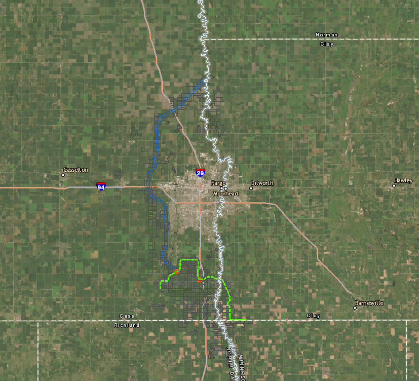
Interactive Lands Map
Use our interactive map to see the locations of project features as well as impacted land parcels.
On a project of this scale, the processes for mapping, acquiring, construction and mitigation are complex. To facilitate understanding of these processes, the MFDA continues to maintain close communications with impacted property owners as well as provide information and resources to the broader community.
Have specific questions about your land?
Use our interactive map to see the locations of project features as well as impacted land parcels.
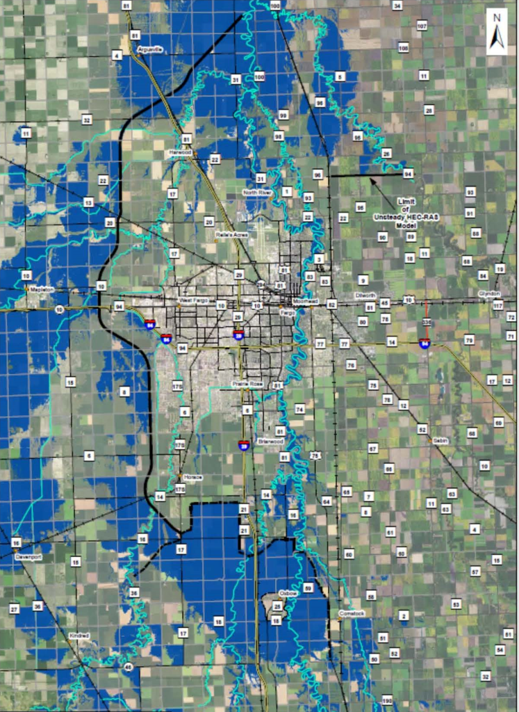
See our region mapped with FEMA’s 100-year flood zones and estimates for how those zones will change after the project’s completion.
Get details on what’s happening with the project’s land acquisition process, read information on how flowage easements are appraised and acquired, and view maps showing mitigation project areas.
The PRAM outlines the MFDA’s commitment to applicable state and federal laws, U.S. Army Corps of Engineers’ requirements, provisions of the settlement agreement, and other programs that address property acquisition impacts and the project’s mitigation measures.
DISCLAIMER: By signing up, you agree to receive emails from MFDA. You can unsubscribe at any time.