September 6, 2024
Q&A: Hunting and Recreation Opportunities on FM Area Diversion Land

As the weather cools in the upper Midwest, many turn their thoughts to hunting or enjoying the last of the nice weather before wintery weather moves in. We asked Jodi Smith, the Metro Flood Diversion Authority’s director of lands and compliance, what opportunities there are and could be on diversion-owned land. Here’s what she said.
If you have other questions on the topic we didn’t cover, please reach out to us at info@fmdiversion.gov.
Can I hunt on FM Area Diversion land?
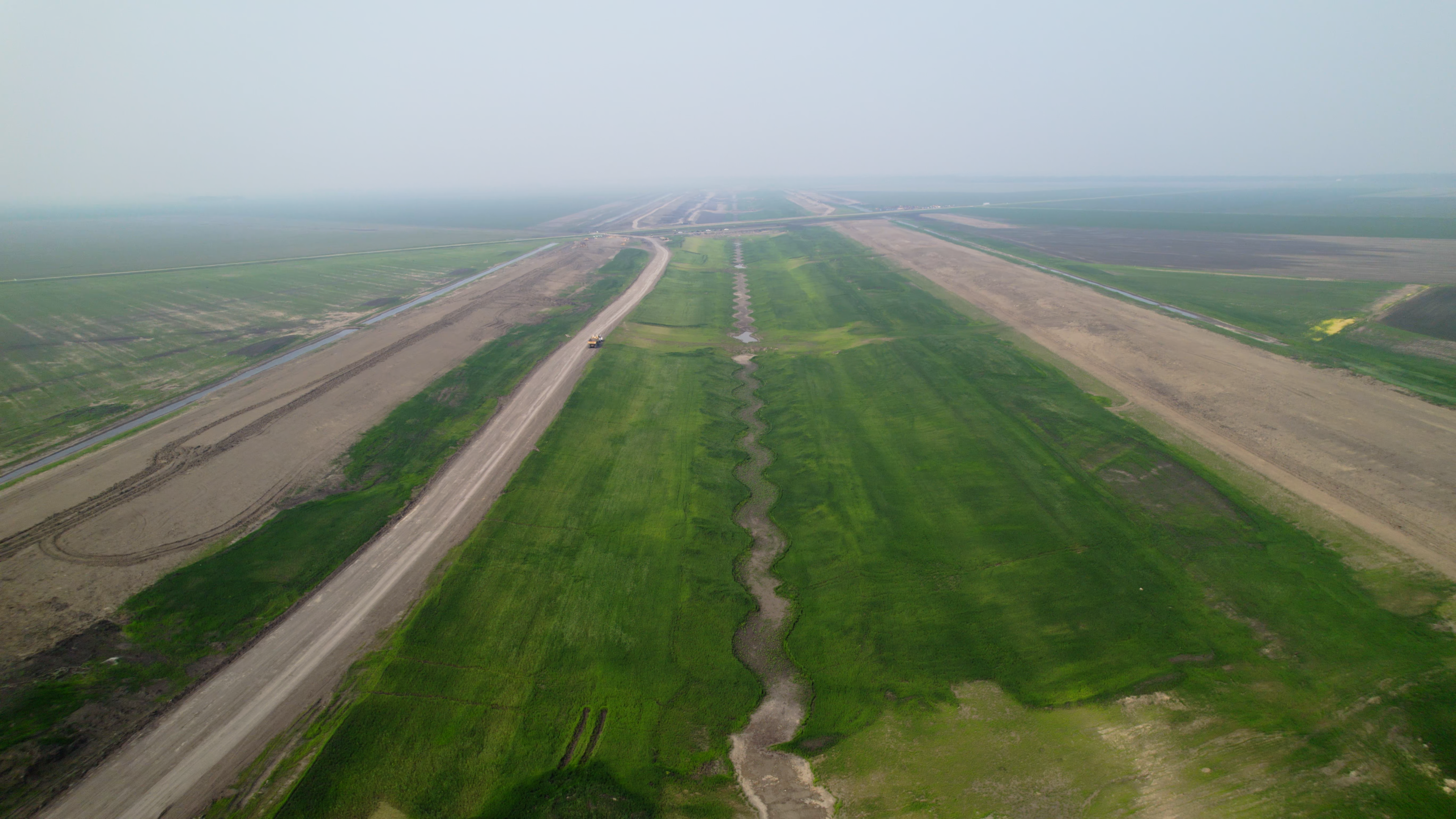
Not yet. There are dozens of active construction sites along the 30-mile stormwater diversion channel, so it’s simply not safe to allow hunting at this time. Once the work is completed, to include vegetation seeding, some areas will open to hunting. Not all seeding will occur before the targeted operational date of the diversion, so it could be another four years or so until hunting becomes a safe option.
What recreational opportunities will there be on diversion land?
As part of the existing FM Area Diversion’s public-private partnership contract, trails will be built along both sides of the stormwater diversion channel, stretching from near Horace, North Dakota, to near Argusville, North Dakota. Seven access points will be constructed to access the trails.
As of now, the trails will be basic and amenities will be limited to a few picnic tables, signage and a vault toilet. Along the east side of the channel, there will be a gravel surface that can be used for biking, walking or driving ATVs and snowmobiles. A gravel maintenance road running the length of the embankment also will be publicly accessible for activities.
How will the trails be accessible?
Seven identified access points have been planned:
- At the 38th Street West and County Roads 16 and 17 crossings, along with the diversion outlet, there will be 10 parking spaces, a gated entrance, trail signage and trash cans.
- Crossings at County Road 81 and 52nd Avenue West are designated as major trailheads and will include 50 parking spaces, trail and interpretive signage, four picnic tables and trash cans.
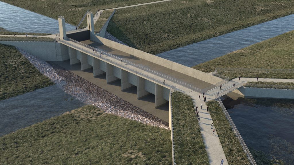
- The trails also will be accessible at the Maple and Sheyenne River Aqueducts.

Will there be more than grass and gravel for the trails?
As part of the FM Area Diversion project plans, there will be nearly 300 acres of trees planted in areas along the channel. Native seed mixes also have been identified for different areas along the channel. The seed mixes and tree varieties were chosen based on what will best thrive along different areas of the channel.

Is there more than can be done than the ‘basic’ recreational plan?
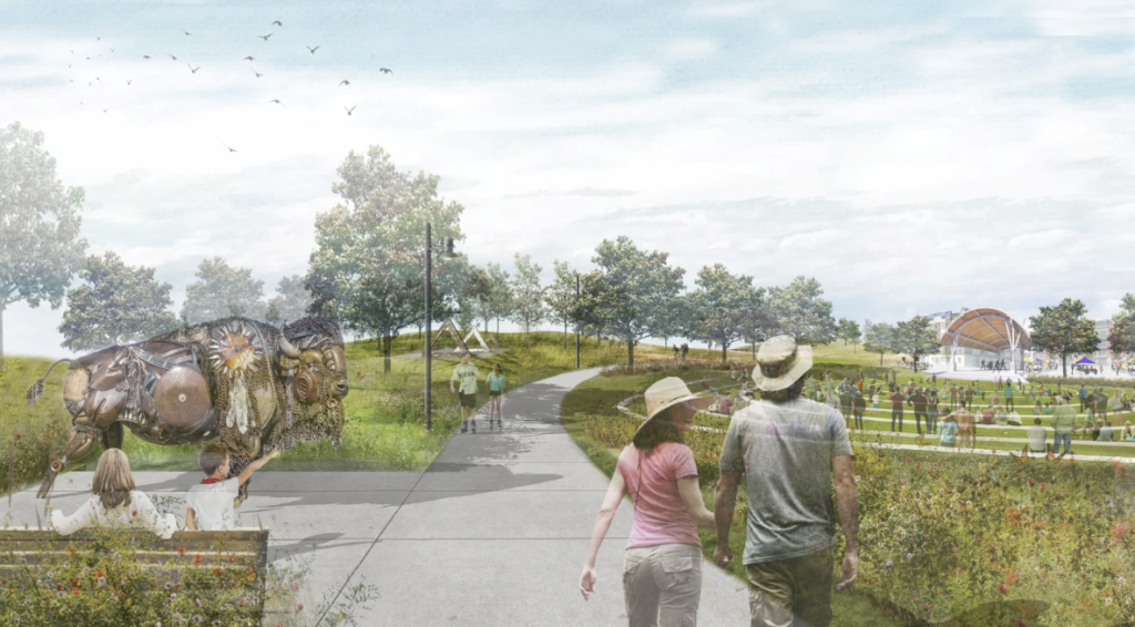
State, county and city officials have been discussing options to secure funding to further develop the trail areas, and MetroCOG completed a study showing some of the ways the area could be turned into a recreational destination. There’s even discussion of creating a state park in the area.
At this time, plans are still in the envisioning stage and a pathway to funding hasn’t been secured. The MFDA was formed to develop permanent, reliable flood protection, so any recreational activities beyond the basic paths must come from other organizations and groups.
