October 31, 2023
Corps celebrates the opening of Interstate 29 south of Exit 50
FOR IMMEDIATE RELEASE
October 31, 2023
News Release No. MVP-PA-2023-075
Melanie Peterson: 651.290.5679, 651.315.4537, melanie.m.peterson@usace.army.mil
Patrick Moes: 651.290.5202, 651.366.7539, patrick.n.moes@usace.army.mil
Liz Stoeckmann: 651.290.5201, 651.515.0298, elizabeth.a.stoeckmann@usace.army.mil
Shannon Bauer: 651.290.5108, 612.840.9453, shannon.l.bauer@usace.army.mil
Corps celebrates the opening of Interstate 29 south of Exit 50
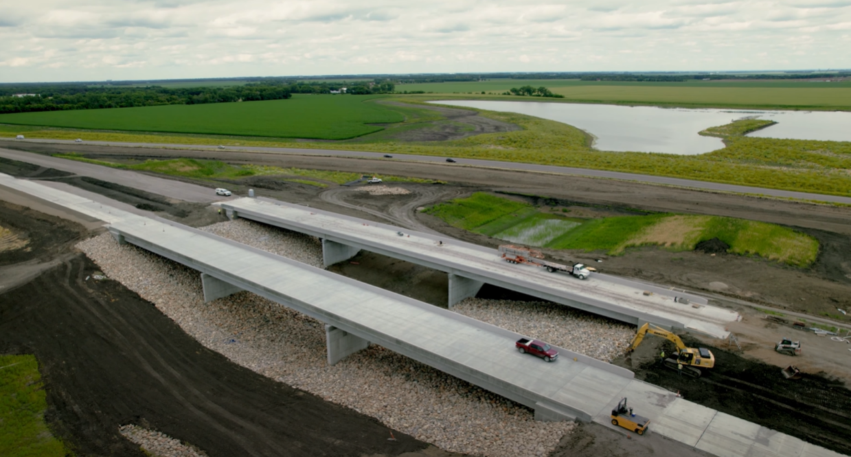
ST. PAUL, Minn. – The U.S. Army Corps of Engineers, St. Paul District, along with the Metro Flood Diversion Authority and the North Dakota Department of Transportation, announced that the Interstate-29, or I-29, construction in the Oxbow, Hickson, and Bakke area has finished work on all lanes of traffic. The Corps is opening both the northbound and southbound lanes, today, in addition to all ramps that access the Interstate in this area.
“We appreciate the residents’ patience as this vital part of the project was completed,” said Mathew Andersen, resident engineer. “The road raise will allow the Interstate to stay open for residents during most flood events.”
The I-29 grade raise project is part of the Fargo, North Dakota / Moorhead, Minnesota, Metropolitan Area Flood Risk Management Project. It consists of a grade raise of I-29 for approximately 4 miles to bring the roadway out of the 500-year flood elevation. The project extends from south of Exit 50 (Hickson Interchange) to north of Exit 54 (Davenport/Oxbow Interchange) and includes an up-and-over where I-29 crosses the southern embankment near the Wild Rice River, bridge construction and replacement, as well as work on adjacent County Roads 18 and 81 in the vicinity of Oxbow.
The roughly $3 billion Fargo-Moorhead Metropolitan Area Flood Risk Management Project is a 30-mile-long stormwater diversion channel in North Dakota with upstream staging of flood waters.
This project, once complete, will provide flood risk management for nearly 260,000 people and 70 square miles of infrastructure in the communities of Fargo, Moorhead, West Fargo, Horace, and Harwood.
